You are currently viewing an archived version of the Media Historic Archives Commission website.
For the latest information, please visit the new website.
For the latest information, please visit the new website.
Browse Items (4698 total)
Sort by:
Items open in a separate tab. Close the tab to return to this list.
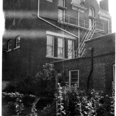
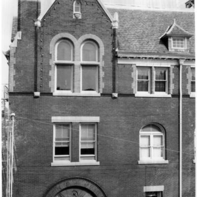
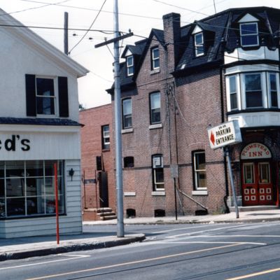
Plumstead Inn and Tancreed's, State Street at Plum Street, south side
Date: 1968-07
Frank Lees caption: In July 1968 the Plumstead Inn and Tancreed's Dress Store were about to be torn down, for the relocation of Plum Street and the building of the First Keystone Federal Savings Bank. The building that house Tancreed's had earlier…
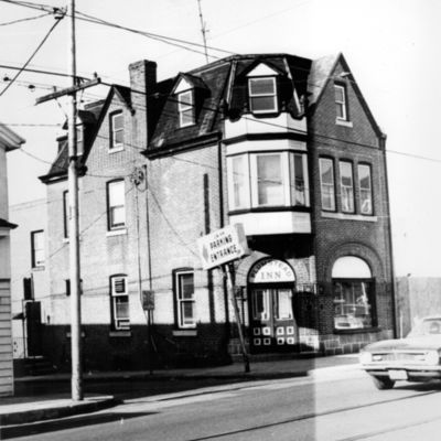
Plumstead Inn, southwest corner of Plum and State streets
Date: 1968-07
Demolished in 1968 as part of Media's Urban Renewal project.
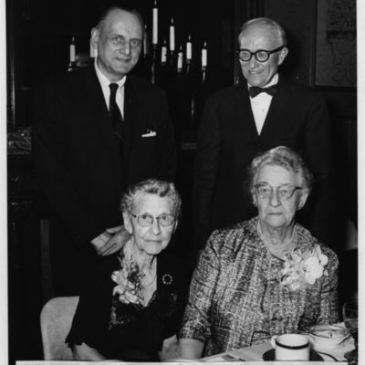
Marguerite De Angeli, children's book author, and guests from Media-Upper Providence Free Library, at the Towne House.
Address: 117 Veterans Square, Media (Pa.)
Date: 1968-04-26
Caption reads: "Media Free Library board dinner, given at the Towne House in Media, for Marguerite de Angeli, writer of children's books (Henner's Lydia, Copper Toed Boots, etc.). Left to right: Arthur Wiltshire, President, Mark W. Allam,…
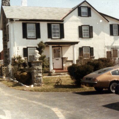
Eva Winters farm on Cheyney Road
Address: Cheyney Road, Glen Mills, Pa.
Date: 1968 Summer
Eva Winters moved to the Cheyney farm when she renovated her home at 219 Manchester Avenue.
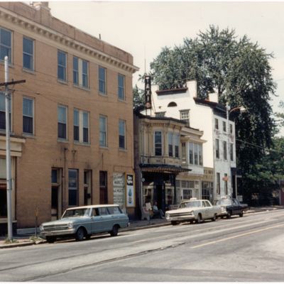
State Street looking west from Orange Street
Date: 1968 (circa)
This is probably an original print from a 35 mm slide. Frank Lees caption: All the buildings in this photograph were soon after torn down as part of Media's Urban Redevelopment Plan. The old Economy Market is on the corner, next is Kaiser Taxi, an…
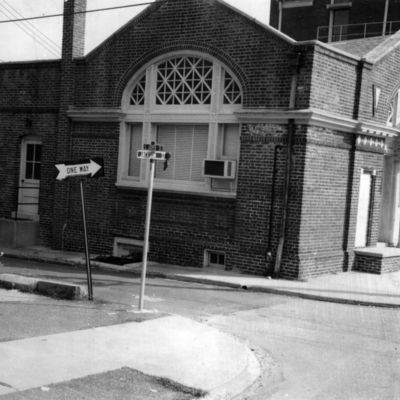
Media Free Library,
Date: 1968
The building at this point was no longer used as a library, and would shortly be torn down.
Media Free Library and Borough Hall
Date: 1968
The building at this point was no longer used as a library; both the library and Borough Hall would shortly be torn down.
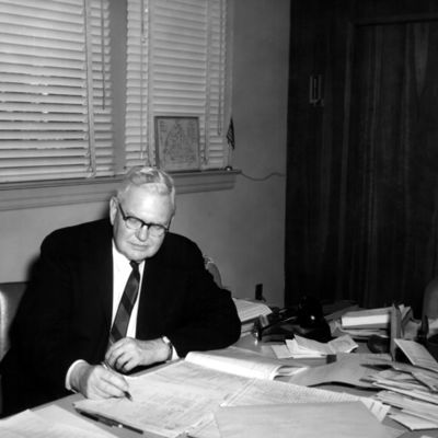
Paul L. Clark, Media Borough Secretary
Date: 1967 (circa)
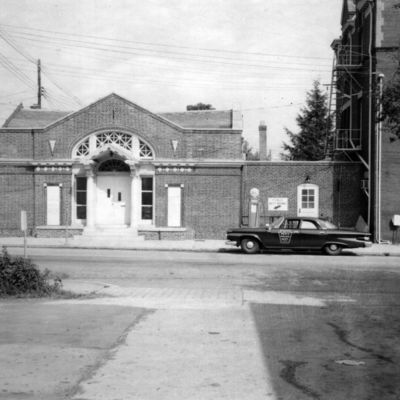
Frank Lees caption: "Office in old library building at Jackson and Jasper streets, prior to moving to borough hall at 2 W. Jackson Street"
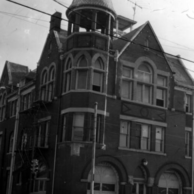
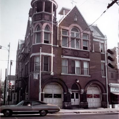
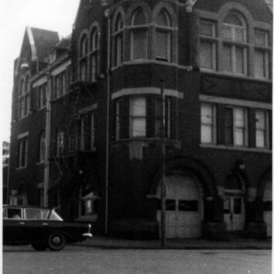
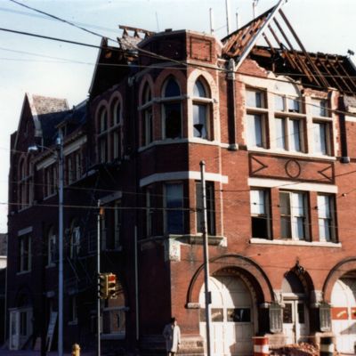
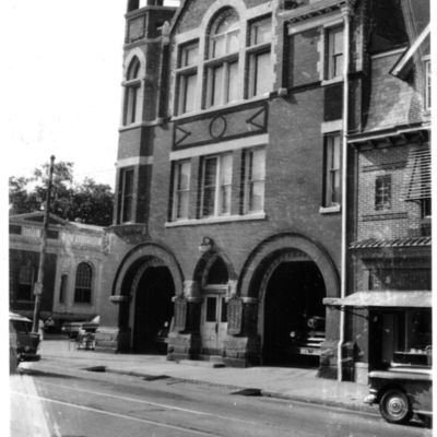
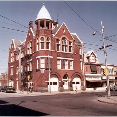
Media Borough Hall and Fire House
Date: 1967 (circa)
View also shows Fish Jeweler and other shops to the east of borough hall, and the old library building at Jasper and Jackson streets. The new firehouse has not yet been built, dating this somewhat earlier than other similar photographs in this…
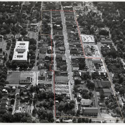
Aerial view of central section of Media, Pa., looking east from above Orange Street.
Location: Media (Pa.)
Date: 1967 (circa)
Pressed-on lines applied to delineate the urban renewal area. This was probably reproduced in one of the urban renewal report.
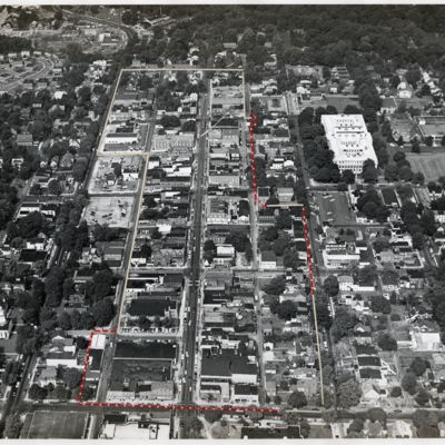
Aerial view of central section of Media, Pa., looking west from above Monroe Street
Location: Media (Pa.)
Date: 1967 (circa)
Pressed-on lines applied to delineate the urban renewal area. This was probably reproduced in one of the urban renewal report.
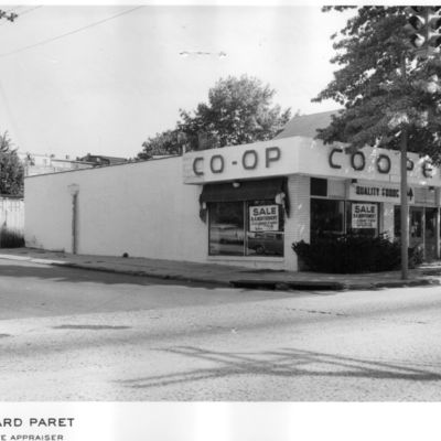
Co-operative Store, northeast corner of Baltimore Avenue and Olive Street
Date: 1967
Demolished for construction of municipal parking garage.
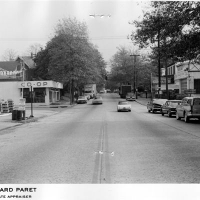
View looking east on Baltimore Avenue from west of Olive Street
Date: 1967
View shows Co-operative Store, gas station, Charles A. Limburg [Auto and Trucks] Sales and Service, Scotthaven Tourists, and various vintage automobiles parked and driving on the road.
Southeast corner, Baker and Olive streets
Date: 1967
Demolished for construction of municipal parking garage.

