You are currently viewing an archived version of the Media Historic Archives Commission website.
For the latest information, please visit the new website.
For the latest information, please visit the new website.
Browse Items (1824 total)
- Collection: I. Frank Lees Photograph Collection
Sort by:
Items open in a separate tab. Close the tab to return to this list.
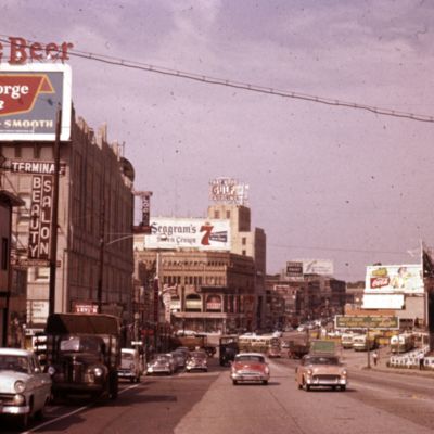
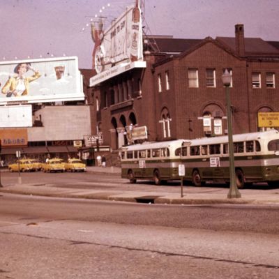
502. Transit. 69th St. Terminal, Upper Darby
Date: 1955-08
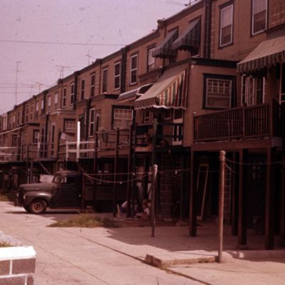
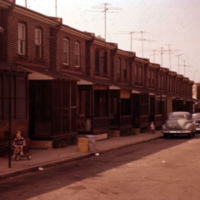
506. Row, old. 500 block Millbank Rd., Stonehurst, Upper Darby Township
Address: 500 Millbank Rd., Upper Darby (Pa.)
Date: 1955-08
View is of driveway or alley in rear of houses.
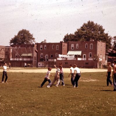
509. Playground. Lansdowne Grade School
Address: 401 Emerson Ave, Lansdowne (Pa.)
Date: 1955-08
This is probably the East Lansdowne Elementary School.
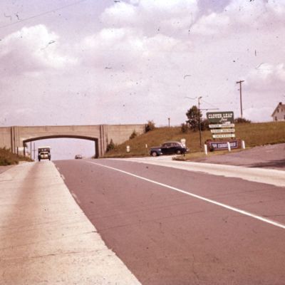
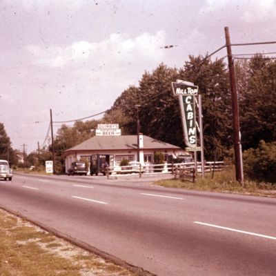
512. Highway. Looking east on Baltimore Pike at cloverleaf, Lima.
Date: 1955-08
The sign for the Clover Leaf Inn is on the right. The cloverleaf connects Route 352 (carried on the bridge) with Route 1.
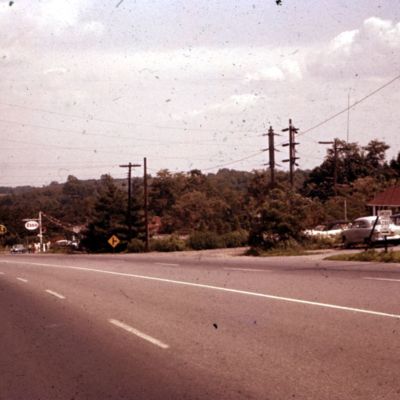
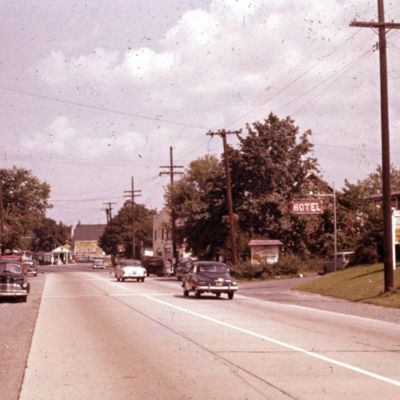
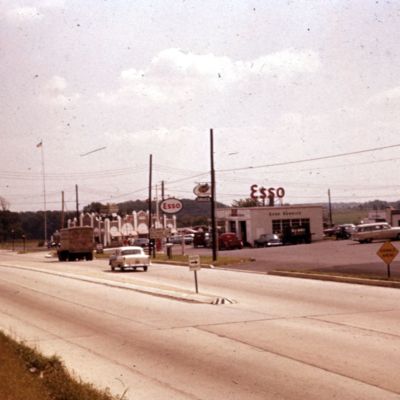
514. Highway. Looking east on Baltimore Pike at Chester Heights
Date: 1955-08
Valleybrook Road is just past the Esso gas station.
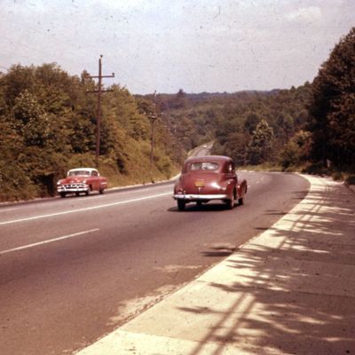
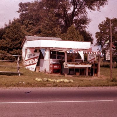
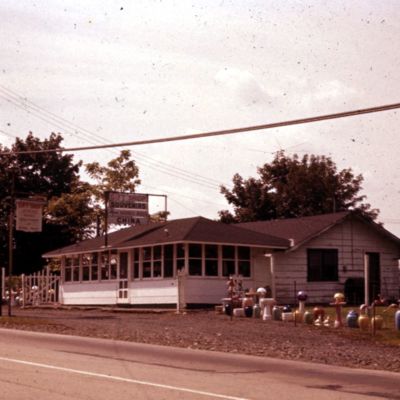
515. Roadside. On Baltimore Pike west of Chester Heights
Location: Chester Heights (Pa.)
Date: 1955-08
Exact location uncertain. Besides selling various vegetables, one sign offers sales of breeding stock of chinchillas.
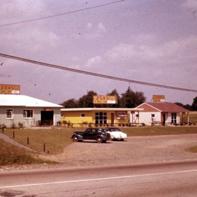
518. Detached, sample. West of Concordville on Baltimore Pike at intersection of Conchester Highway.
Date: 1955-08
Three sample houses with prices under $4,000, and no money down. Exact location unknown.
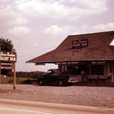
521. Roadside stand. On Baltimore Pike east of 202.
Date: 1955-08
Green Meadows Dairy Bar, offering "quality buttermilk, homemade ice cream," and "thick milk shakes". According to newspaper advertisements, this same building later housed Green Meadow Plants. It was just north (or east, as the caption reads) of…
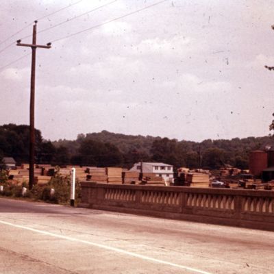
523. Highway. Looking east on Baltimore Pike from Brandywine Bridge, Chadd's Ford.
Location: Chadds Ford (Pa.)
Date: 1955-08
This lumber-yard, a former mill, later became home of the Brandywine River Museum.
532. Highland Homes. Wayne
Location: Highland Avenue, Wayne (Pa.)
Date: 1955-08
These buildings, which were low-income housing, no longer stand.
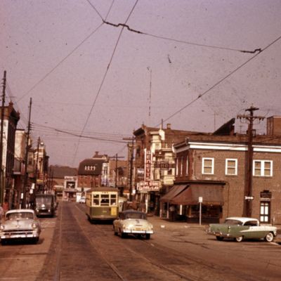
548. Main Street, Darby
Address: Powell Rd. and Main St., Darby (Pa.)
Date: 1955-08
Looking from above Powell Road (on right) toward 9th St.
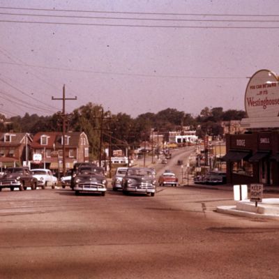
550. Highway. MacDade Boulevard, from Chester Pike, Darby.
Date: 1955-08
The building that earlier housed the car dealership on the right still stands (as of 2020).
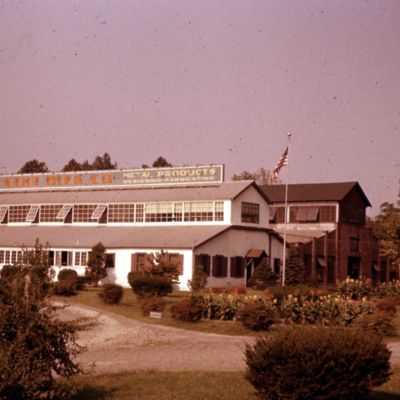
551. Industry. Darby.
Location: Darby (Pa.)
Date: 1955-08
According to newspaper research, Saha Manufacturing Co. was located on Springfield Road near MacDade Boulevard., or MacDade and Chestnut Street. Exact location is uncertain..
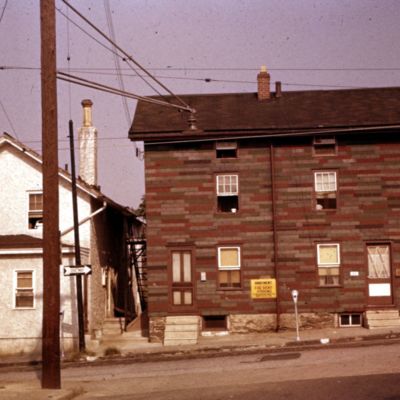
554. Row, old. 600 block Keystone St., Colwyn
Address: 512 Keystone Ave., Darby (Pa.)
Date: 1955-08
Address is approximate. Most of this row of small houses still stands.

