You are currently viewing an archived version of the Media Historic Archives Commission website.
For the latest information, please visit the new website.
For the latest information, please visit the new website.
Browse Items (4698 total)
Sort by:
Items open in a separate tab. Close the tab to return to this list.
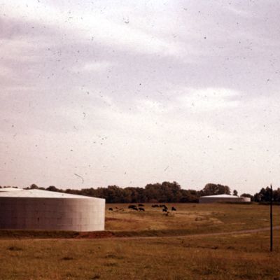
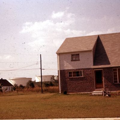
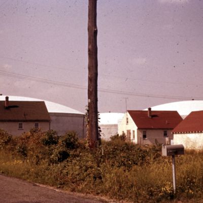
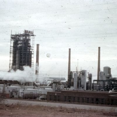
603. Industry and Residential. Cherry Tree Rd. and Chester-Concord Rd., Aston Township. Water tanks of Chester.
Date: 1955-08
Tanks are for the water supply of Chester, through the Chester Water Authority.
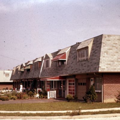
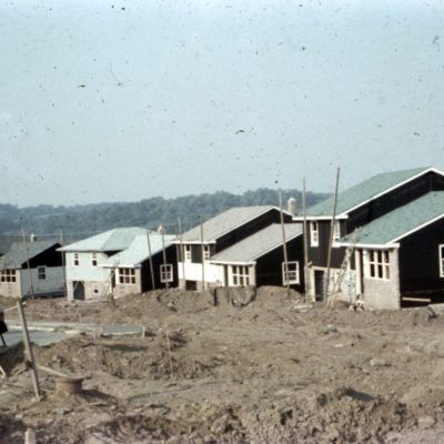
612. Construction. Lawrence Park, Marple Township
Location: Marple (Pa. : Township)
Date: 1955-09
Houses under construction. Exact location uncertain.
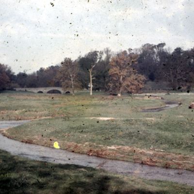
640. Darby Creek, north of Bryn Mawr Ave., Radnor Township
Location: Radnor (Pa. : Township)
Date: 1955-09
Location uncertain. This may be the bridge on Goshen Road or on Saw Mill Road at Darby Paoli Road.
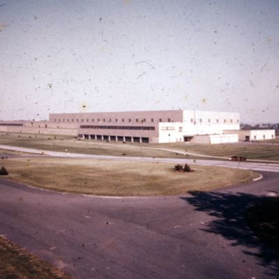
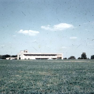
646. Industry. Curtis Publishing Co., Sharon Hill
Address: 2000 Elmwood Ave., Sharon Hill (Pa.)
Date: 1955 (circa)
This building now (2020) in an enlarged industrial park, houses the Delaware County Community College - Southeast Center.
647-649 S. Orange St.
Date: 1900-1909
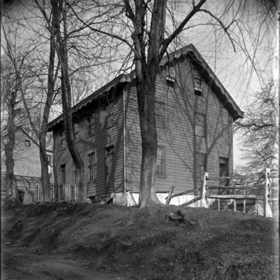
This twin house is just south of the intersection of Ridley Creek Rd. and S. Orange St. The photo also shows a partial view of 645 S. Orange, on the left.
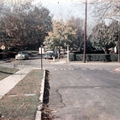
654. Street. Harper and State Rd., Drexel Hill. Slight jog, faulty planning.
Date: 1955-09
This jog still exists as of this writing, in 2020.
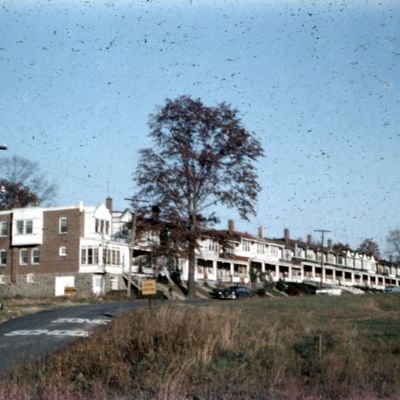
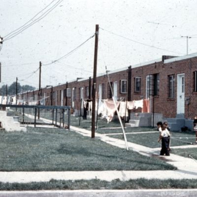
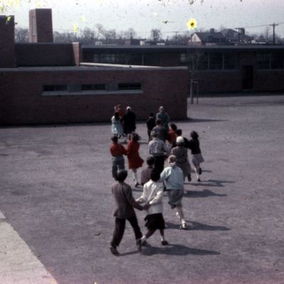
656. Row, old. N. Lawrence Rd., across from Lynnewood School, Havertown
Date: 1955-09
Address is for the closest house in the row.
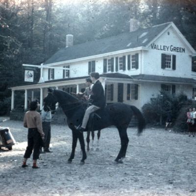
659. Park. Wissahickon at Valley Green.
Date: 1955-09
Valley Green Inn is in the background. The address is for this location. The Wissahickon Valley is part of Fairmount Park.
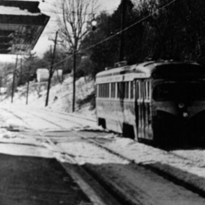
69th Street Trolley at Pine Ridge Station
Date: 1950
Copy of original photo; source not noted
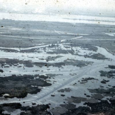
743. Darby Creek, Tinicum Marsh
Location: Delaware County (Pa.)
Date: 1956 (circa)
Delaware River and Little Tinicum Island are in the distance. This view may have been taken from over Folcroft.
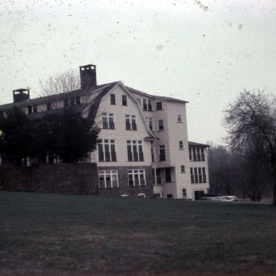
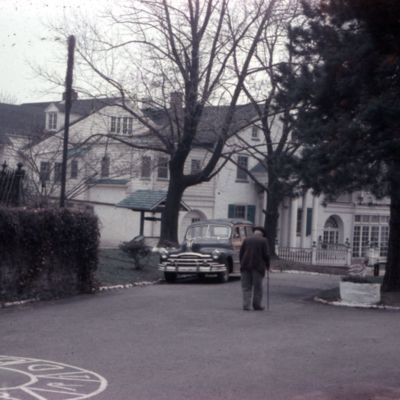
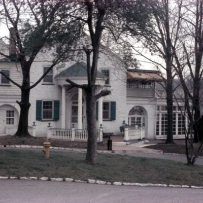
802. Home for Aged. Brookwood.
Address: Louis W. Scott Memorial Park, Ridley Creek Rd., Upper Providence (Delaware County, Pa. : Township)
Date: 1956-04-27
This is the former Malin family homestead. Address is approximate. The building was on the west side of Ridley Creek Road, the same side as what is now called Louis Scott Park.
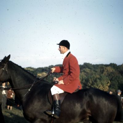
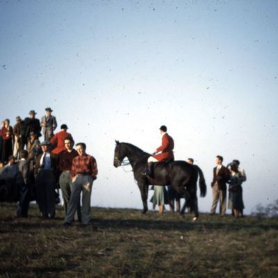
932A. Rose Tree Hunt
Date: 1948 (circa)
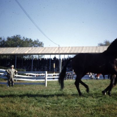
932B. Rose Tree Hunt
Date: 1948 (circa)
932C. Rose Tree Hunt
Date: 1948 (circa)

